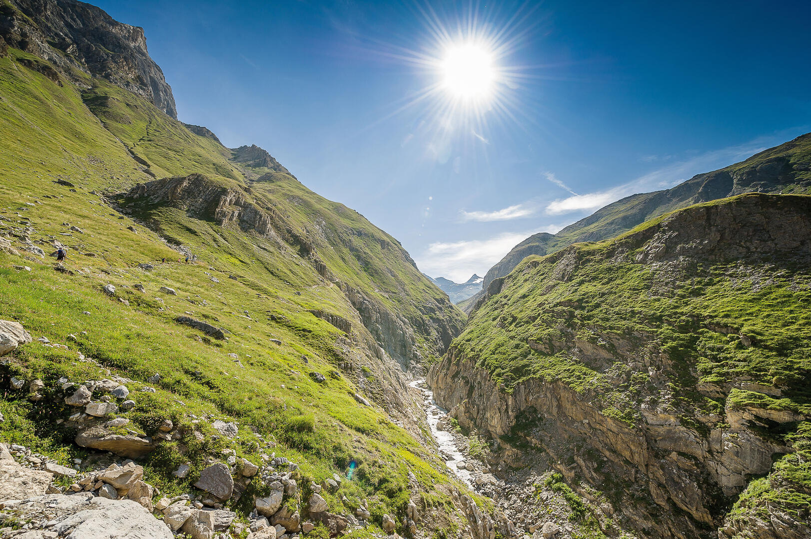
Col de la Lose par le Vallon du Prariond
Sport, Pedestrian sports, Hiking itinerary
in Val-d'Isère
5.5
km
1h 15min
Medium
- Departure
- Val-d'Isère
-
-
Plain text period
-
From 01/06 to 31/10.
Subject to favorable snow and weather conditions.
-
-
-
Environment
-
-
-
Documentation
- GPX / KML files allow you to export the trail of your hike to your GPS (or other navigation tool)
-
-
-
Activities
-