From the Fond des Fours Refuge to the Col de la Vanoise RefugeDeparture in Val d'Isère - 73 - Savoie
A grand hike that is an integral part of the 6-day Traversée Maurienne – Vanoise circuit, from Bonneval-sur-Arc to Modane.
This hike offers very varied landscapes and terrain. The difficulty is mainly due to the number of km because the differences in altitude are not too important and the trails are good.
23.42km
+934m -945m
8:55am
Hard
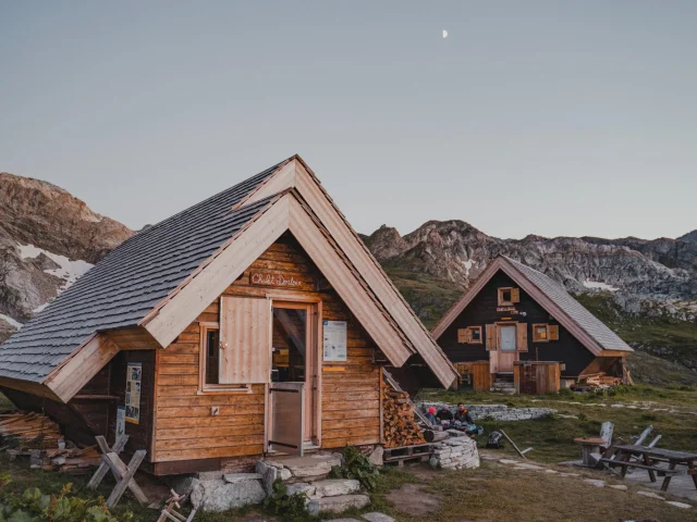 refuge-de-fond-des-fours-summer
refuge-de-fond-des-fours-summer|
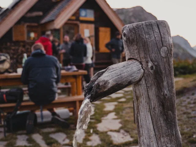 refuge-de-fond-des-fours-fontaine
refuge-de-fond-des-fours-fontaine|
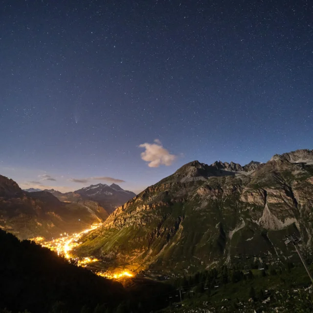
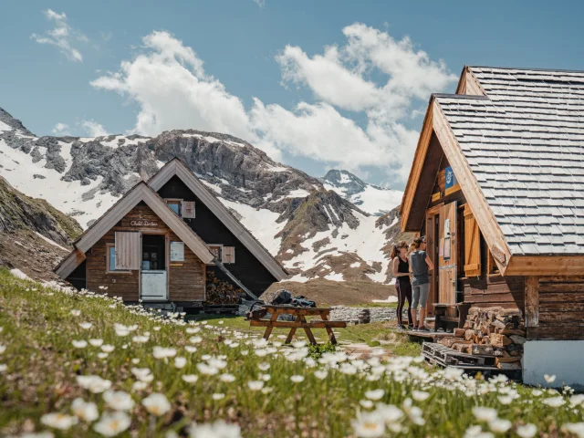 night-refuge-bottom-of-fours
night-refuge-bottom-of-fours|
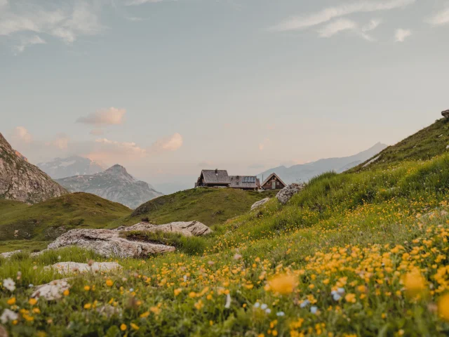 summer_bottom_of_furnaces
summer_bottom_of_furnaces|