 _DSF7252
 _DSF6506
Avalanche-promoting factors
Avalanches can be caused by a number of factors:
 Off-track day
 _DSF7252
 _DSF6506
Avalanches can be caused by a number of factors:
We had the chance to meet Laurent, forecaster and nivologist at the Bourg-Saint-Maurice (73) meteorological center, to better understand how to read a Bulletin d’Estimation Risque d’Avalanche or BERA*, before heading off-piste.
Laurent Valbert, employed by Météo-France, is responsible for drafting the Bulletin d’Estimation du Risque d’Avalanche (Avalanche Risk Assessment Bulletin) for all the Savoie massifs, including the Haute-Tarentaise. Laurent is in constant contact with the ski patrollers who take daily meteorological and snow surveys for the bulletin.
*The Bulletin d’Estimation du Risque d’Avalanche (BERA) (Avalanche Risk Assessment Bulletin) contains all the information on the weather, snow cover and avalanche risk assessment. It is free of charge, and is put online every day at 4pm for the following day. It can be consulted on the Météo-France website, as well as on the Météo-France and Météo-France Ski et Neige apps. It is also displayed at the Tourist Office and at the resort’s first-aid posts.
 Valdisere 00001583
 off-road-2
How do you produce your weather report?
LV: Every morning, I receive data from weather stations in France and Savoie, which I study in detail and then summarize. I also use satellite images and numerical forecast simulators (models) from Météo-France to draw up the weather report for 7:30 am.
How do you produce the avalanche forecast?
LV: Based on the weather report (temperature, wind, sunshine, snowfall) and snow data from the field (snowpack condition, snow consistency, wind effects) transmitted by the guides and trackers, I estimate the risk on a scale of 1 to 5. Information useful for preparing an off-piste outing is summarized in the “Snowpack stability” section: possible avalanche types, probability of triggering, location, size, etc.
 off-road-3
 Off-track day
How do I read a BERA?
LV: The 1st part, at the top of the page, is a summary with the risk index on a scale of 1 to 5 and the most exposed orientations.
Note that for skiers, the scale reads 1 to 4, since at risk level 5, the slopes are generally closed. In reality, 4 is the highest risk level for avalanches triggered by skiers or hikers. Risk 3 is therefore not in the middle of the scale, but on the high end; index 3 is not a medium risk, but a marked risk that should not be underestimated (almost 75% of the accidental scale).
Part 2: Snowpack stability, weather (the most important part, read carefully…)
Part 3: Off-piste snow quality and weather forecast
LV: Find out the day before about weather conditions(Bulletin Météo France) and snow conditions(Bulletin BERA), issued every day at 4pm for the Haute-Tarentaise massif.
 Valdisere 00032945
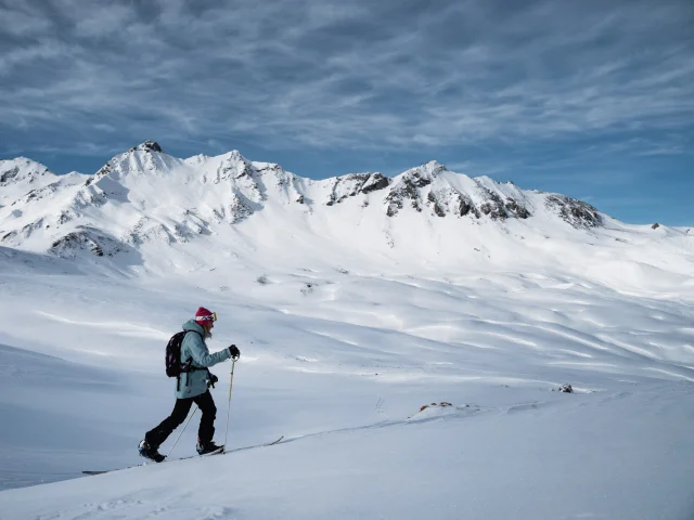 Valdisere 00032994
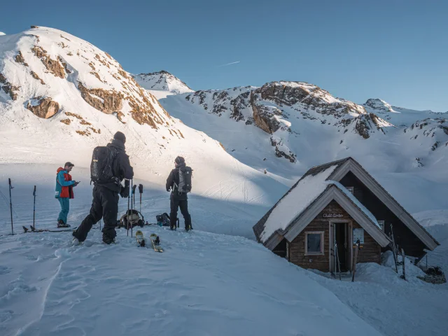 valdisere-00027299
In order to consolidate the data in the avalanche risk assessment bulletin, the ski patrollers take snow surveys. Snow science is the study of snow: its formation, composition and stability, the evolution of the snowpack and the risk of avalanches (both spontaneous and triggered by skiers).
The ski patrollers take readings of the snowpack, for local forecasts in Val d’Isère, and of the avalanche risk (with the Régie des Pistes), then pass the data on to the Météo-France station in Bourg-Saint-Maurice, for analysis and comparison with other data to determine an estimate of the avalanche risk for the entire Haute-Tarentaise massif.
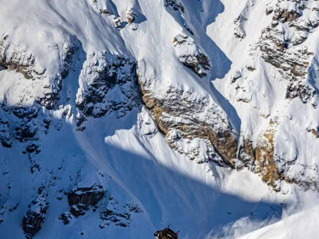 off-road-1
 off-road-3
Get off the beaten track and discover new sports! Sports activities to suit all tastes and ages for a dynamic winter in Val d’Isère.